Where to find Free Remote Sensing and GIS Data Downloads
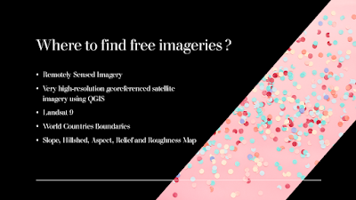
One of the most difficult works in a GIS-based project is to collect remotely sensed imageries at no cost. V.Ghadamode has shared the following videos which explain the procedure to find and download sentinel-2 Satellite data, Landsat 9 Data, World Countries Boundaries, Open Topography, etc. for Free. The following videos were provided to use the free sources for the collection of remotely sensed data : 1)How to download sentinel-2 Satellite data from Copernicus Open Access Hub: 2)How to Download Sensing and GIS Data DownloadsLandsat 9 Data set from USGS earth Explorer: 3)How to download very high-resolution georeferenced satellite imagery using QGIS: 4)Download World Countries Boundaries, Shapefile Data: 5)How to Download Slope, Hillshed, Aspect, Relief and Roughness Map (Open Topography): 6)Download SRTM DEM Directly in QGIS Software: 7)Download Water Body Data lakes and Rivers in shapefile from USGS earth explorer: 8)How to Download Ope...