Posts

Showing posts from 2023

Geospatial Jobs Portal : If you are in GIS subscribe to this newsletter

In recent years, India has graduated thousands of students in the field of GIS and Remote Sensing. The issue is that these graduates are unable to find work in their field of expertise. On the other hand, many GIS start-ups have been launched. Employees with desired GIS expertise are scarce in these organizations. Today, I'd like to propose a newsletter that serves as a link between start-up companies looking for ideal employees and recent GIS graduates. The URL is https://geospatial.substack.com/?nthPub=321 This newsletter publishes Situation Wanted opportunities in the field of GIS on a regular basis. Thanks, @Mrinmoy

Data Analyst Job in India

Image
Data Analyst Job in India The Geographic Data team is responsible for gathering location data of multiple assets across industries. The team works from across different global offices, including India, the Philippines, and US. The analyst will be joining a collegial and professional global team, where you will be able to collaborate and exchange domain knowledge and expertise on geography and mapping. Our department provides high-quality and timely data, and our Data Researchers perform the key tasks in data collection, maintenance, and processing. We cater to the needs of both internal and external clients, who use our data in making sound and efficient business analyses and decisions. The analyst would be utilizing editing and analytical tools within the GIS software to create and edit mapping layers. They would also be responsible for the daily maintenance of the data sets. #data #india #job

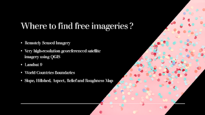
Where to find Free Remote Sensing and GIS Data Downloads

Image
One of the most difficult works in a GIS-based project is to collect remotely sensed imageries at no cost. V.Ghadamode has shared the following videos which explain the procedure to find and download sentinel-2 Satellite data, Landsat 9 Data, World Countries Boundaries, Open Topography, etc. for Free. The following videos were provided to use the free sources for the collection of remotely sensed data :  1)How to download sentinel-2 Satellite data from Copernicus Open Access Hub:  2)How to Download Sensing and GIS Data DownloadsLandsat 9 Data set from USGS earth Explorer:  3)How to download very high-resolution georeferenced satellite imagery using QGIS:  4)Download World Countries Boundaries, Shapefile Data:  5)How to Download Slope, Hillshed, Aspect, Relief and Roughness Map (Open Topography):  6)Download SRTM DEM Directly in QGIS Software:  7)Download Water Body Data lakes and Rivers in shapefile from USGS earth explorer:  8)How to Download Open Street Map data in Shapefile format: