How to create attribute table in open source GIS software ?

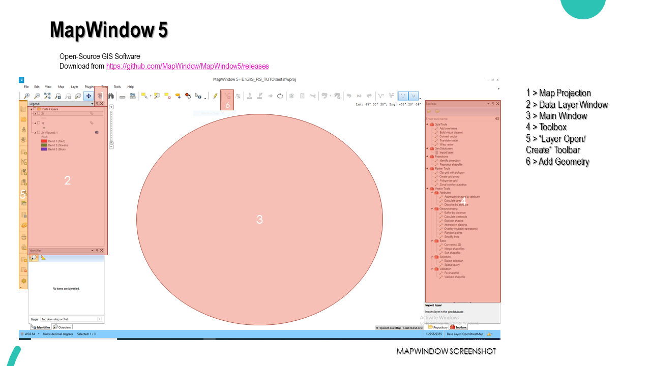

Map Window 5 is an open-source GIS software that has the capability to digitize maps, create a geodatabase, convert raster to vector, interactive maps, georeferencing of images, etc. The current tutorial demo the way you can create an attribute table with the help of MapWindow 5.
The above three images depict the procedure to create an attribute table to store data into shapefiles which can be used for the creation of interactive or informative maps.
The pdf version can be downloaded from here.
Or
Watch the YouTube Video here.
This is an excerpt from the tutorial on GIS and Remote sensing available for Rs.70 at Instamojo.


Comments
Post a Comment