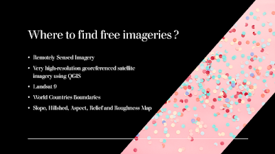
One of the most difficult works in a GIS-based project is to collect remotely sensed imageries at no cost. V.Ghadamode has shared the following videos which explain the procedure to find and download sentinel-2 Satellite data, Landsat 9 Data, World Countries Boundaries, Open Topography, etc. for Free. The following videos were provided to use the free sources for the collection of remotely sensed data :
1)How to download sentinel-2 Satellite data from Copernicus Open Access Hub:
2)How to Download Sensing and GIS Data DownloadsLandsat 9 Data set from USGS earth Explorer:
3)How to download very high-resolution georeferenced satellite imagery using QGIS:
4)Download World Countries Boundaries, Shapefile Data:
5)How to Download Slope, Hillshed, Aspect, Relief and Roughness Map (Open Topography):
6)Download SRTM DEM Directly in QGIS Software:
7)Download Water Body Data lakes and Rivers in shapefile from USGS earth explorer:
8)How to Download Open Street Map data in Shapefile format:
9) How to Download Free Very High Aerial Imagery 0.5 meter, SRTM DEM, Hyperion, LANDSAT-8 & Aster:
or
You may also like :
Seven most coveted job openings for hydro informatics engineering
Seven Most Promising Trends of Research that can create A World with a Sustainable Future
Lecture Notes on MCDM: Buy from:
Amazon(Kindle version is FREE)
NotionPress(Paperback version : INR425)
GumRoad(Digital version: INR240 use hydrogeek as code for a 10% off)
Instamojo(Digital version : INR204 with 15% discount)
Razorpay(Digital version : INR50)
Preorder: GIS in One Page
a. Gumroad (Digital version: Preorder Price: INR250 use fall21 as code for a 10% off)
b. Instamojo (Digital version: Preorder Price: INR225 with 10% discount)
c. RazorPay(Digital version : Preorder Price: INR200)
Preorder: 50 Project Ideas on MCDM and GIS
a. Gumroad (Digital version: Preorder Price: INR250 use fall21 as code for a 10% off)
b. Instamojo (Digital version: Preorder Price: INR204 with 10% discount)
c. RazorPay(Digital version : Preorder Price: INR200)
Share your conference Presentations
We sell hydrologic data
CFP : IJHCE
Recommend
Guest Post to this newsletter


Comments
Post a Comment